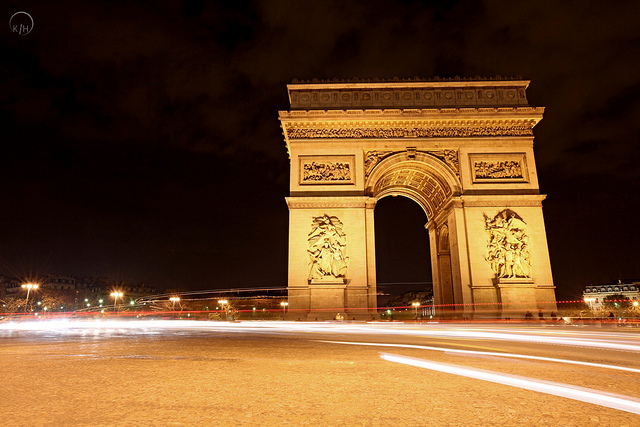
There is a really interesting article on BBC Future about Baron Georges-Eugene Haussmann’s Second Empire urban redesign of Paris, that transformed choked and convoluted medieval streets into the bold boulevards we know today.
A new study by Marc Barthelemy of the CEA Institute of Theoretical Physics in the Parisian suburb of Gif-sur-Yvette and his colleagues have analysed maps of the city road network at six moments in time since the Revolution began: 1789, 1826, 1836, 1888, 1999 and 2010.
They looked at some basic properties of the networks, such as the numbers of nodes (intersections) and edges (roads between intersections), as well as using more sophisticated concepts from the modern theory of complex networks, such as the quantity called “betweenness centrality” (BC) that measures the importance of individual nodes to navigating the network.
The BBC Future article and the study are well worth reading if you have an interest in urban spatial design, and the impacts of spatial design on urban networks.
For Infrastructure Management professionals the development of new analysis tools to help resolve spatial issues around traffic management and urban forms are always welcome.
Learning from the past development of great cities such as Paris can be instructive as we seek to manage infrastructure renewal and deployment to provide the mobility and services required in modern cities.
PHOTO CREDIT: Karl Hipolito


[…] Paris as an example, back in the… and the reason I’m picking Paris is this blog post up on Waugh Infrastructure.com about what they […]